|
Lakenheath is only a few miles from the county borders with both Norfolk and
Cambridgeshire, and is positioned right on the join of two distinctive regions
of land, the Fens and Breckland.
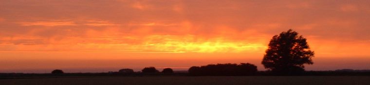
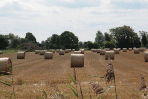
The Fens are low level flatlands, originally an area of marshes, bogs, and small
islands populated by independent people. Now they have been drained, and lots
of rich, peaty, farmland has been produced. The drainage first started on a
large scale in the 17th Century, by windpumps. In the 18th century, steam pumps
were brought in and today electric and diesel pumps keep the water at bay. The
whole area is covered in a network of long straight waterways, from the size of
ditches to massive rivers.
Lakenheath High Street is about 10m (33ft) above sea level and the parish dips
down to sea level, or 0m, about 2 miles further West. The 'high point' of the
village is 31m (102ft), at the trig point on Maids Cross Hill, some 1/2 mile to
the East of the High Street, and most of the buildings in the village have
developed up the sides of this hill, a 'first' hill of the Breckland.
Running through Lakenheath is the B1112 road and parallel to it is the Cut-off
Channel, a waterway which is part of the Fens drainage system. The Channel runs
from Barton Mills and joins the River Great Ouse at Denver sluice, near Downham
Market. It was built in 1964 and was part of the flood protection work started
after the major 1947 floods. Floodwater from the three Breckland rivers, the
Lark, Little Ouse, and Wissey, can be diverted into the Cut-off Channel, and
even water from the Great Ouse can be made to flow backwards along it as far as
Hockwold, the next village along from Lakenheath. At Hockwold there is a
tunnel, that runs underground all the way to Kennett. Water can be transferred
all the way to the rivers Stour, Colne, and Blackwater in Essex, and thus out
to sea, as well as into the Essex reservoirs at Abberton and Hanningfield.
Perhaps surprisingly to modern residents of Lakenheath, the village used to be
accessible by barge and other rivercraft, along Lakenheath Lode. This channel
connected with the River Little Ouse at Botany Bay, near Sedge Fen, and ran from
there into the village. The Little Ouse is still navigable as far as Brandon,
but the Lakenheath Lode has long since silted up or been filled in but the
section from the railway to the Brandon River is navigable by canoe or small
boat. As recently as 1900, barges of 25-30 tonnes were travelling to and from
Lakenheath. These were carrying sand and gravel from pits on Lakenheath Warren
which had been redeveloped by Prince Duleep Singh of Elveden Hall, who had
bought land in the Lakenheath area in 1863. Lots of cargo was carried on the
waterways of the Fens, to and from harbours at the sea. Unfortunately this
traffic died out gradually after the railways came in the mid 1800s.
| |||
Sedgefen.co.uk